Susquehanna Atlas
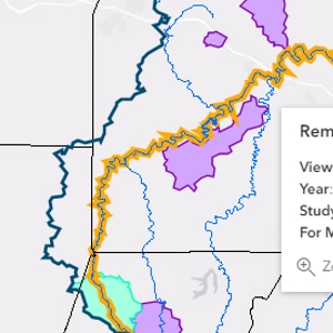
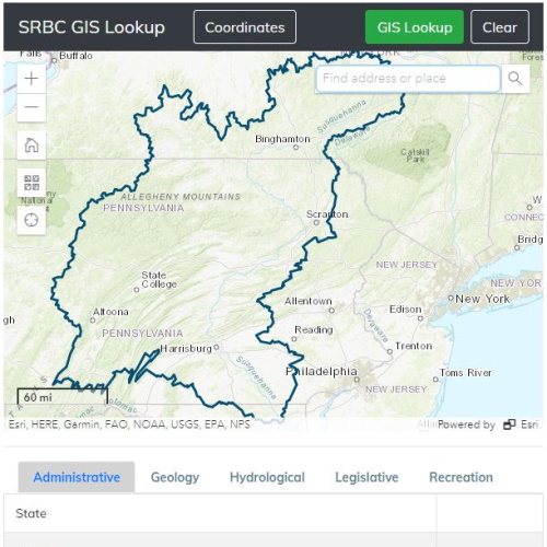
Programs & Activities Interactive Map
Find locations of current Commission activities and recent studies near you. Click on study areas to access project-specific websites, reports, maps and GIS data.
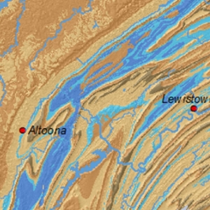
GIS Data & Base Maps
Download various Commission GIS data, metadata, and base maps such as land use, soils, geology, precipitation, watersheds, etc.