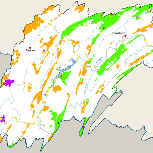
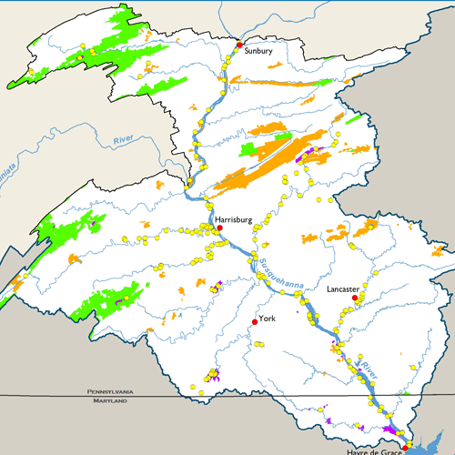
Recreation

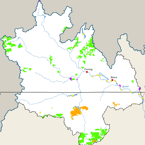
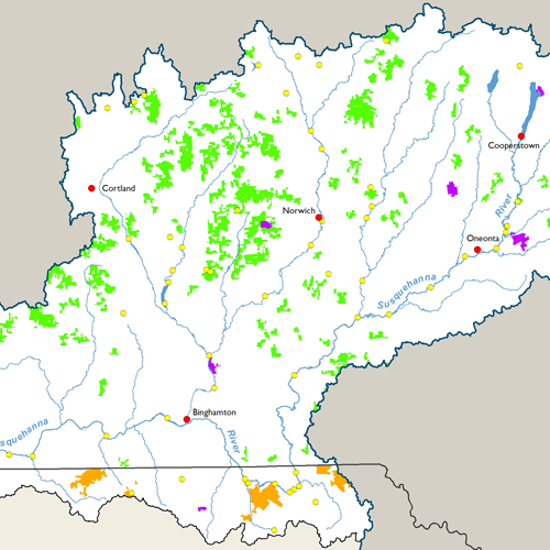
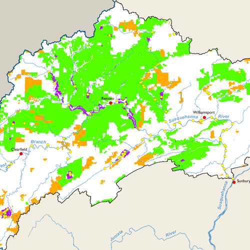
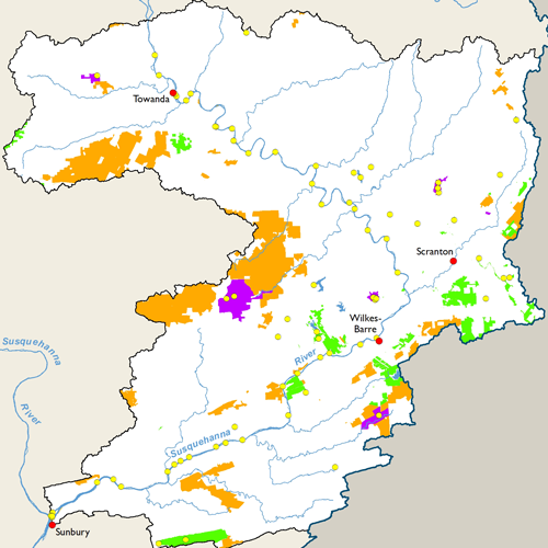
The recreation map at left includes state parks, state forests, gamelands, and public boat access points within the Susquehanna River Basin. Here is a breakdown of these recreational features by state:
Maryland
- Boat Access Points: 15
- State Parks: 3 (7 sq. mi.)
- State Forest: 1 (2 acres)
New York
- Boat Access Points: 59
- State Parks: 12 (14 sq. mi.)
- State Forest: 138 (367 sq. mi.)
Pennsylvania
- Boat Access Points: 449
- State Parks: 60 (156 sq. mi.)
- State Forest: 16 (2,911 sq. mi.)
- Gamelands: 156 (1,264 sq. mi.)
Subbasin Maps
Metadata
| Map Title | Public Lands and Boat Access Points, Susquehanna River Basin |
|---|---|
| Datasets Included |
Boat Access Points, 2019 State Parks, 2018 State Forests, 2018 Pennsylvania Gamelands, 2019 |
| Date | See above |
| Scale | 1:24,000 |
| Agency |
Boat Access Points: PFBC, NYSDEC, MDDNR State Parks: PADCNR, NYSOPRHP, MDDNR State Forest: PADCNR, NYSDEC PA Gamelands: PA Game Commission |
| Download GIS Datasets | PA Boating Access Points NY Boat Launches MD Public Water Access Map PA State Park Boundaries NY State Park Boundaries MD Protected Lands PA State Forest Lands NY State Forests PA Gamelands |
| Metadata | PA Boating Access Points NY Boat Launches MD Water Access Guide PA State Park Boundaries NY State Park Boundaries MD Protected Lands PA State Forest Lands NY State Forests PA Gamelands |