Identifying Optimal Groundwater Recharge Locations
Purpose
The Commission’s Comprehensive Plan directs staff to identify and promote the protection of open space and other land uses that provide for increased groundwater recharge. Recharge is infiltration of water from the land surface to underground water-bearing zones and is the primary means of ensuring water is available in aquifers for water supply and as baseflow to streams. Different geologic materials, structures, and land uses all influence the rate in which water can recharge underlying aquifers. The Susquehanna River Basin’s (27,500 square miles of) diversity in these factors leads to considerable variations in local recharge rates.
The Study
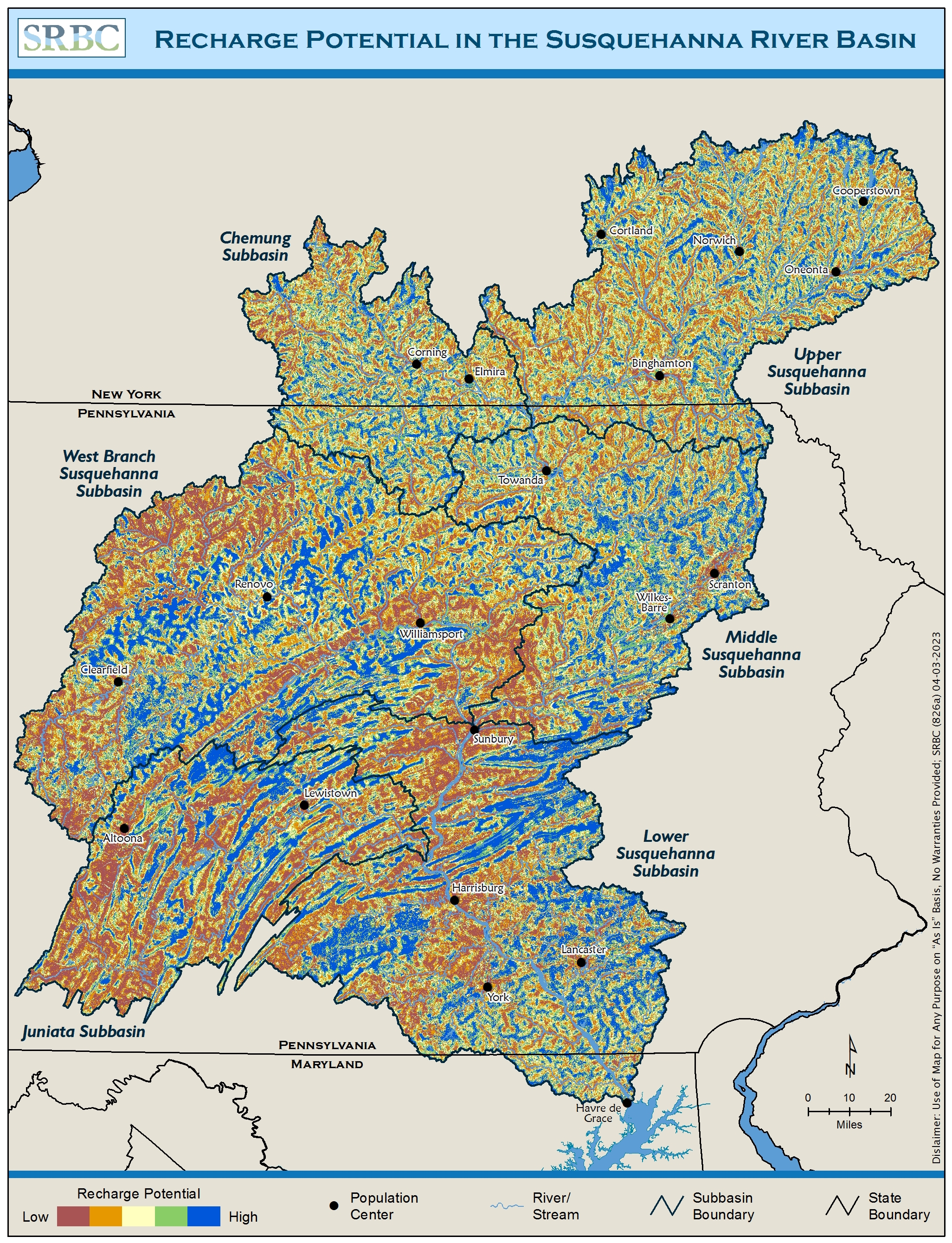
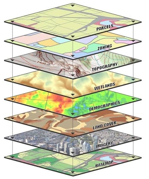
The authors of the study incorporated multiple factors influencing recharge through standardization and weighting assignments using the Geographic Information Systems – Multi-Criteria Decision Analysis framework to identify land-surface areas with the best/highest capacity for sustained or enhanced recharge. The following datasets were used to describe recharge potential within the Susquehanna Basin:
- percent impervious cover
- land surface slope
- percent sand and clay
- depth to bedrock
- drainage density
- karst density
- fault density
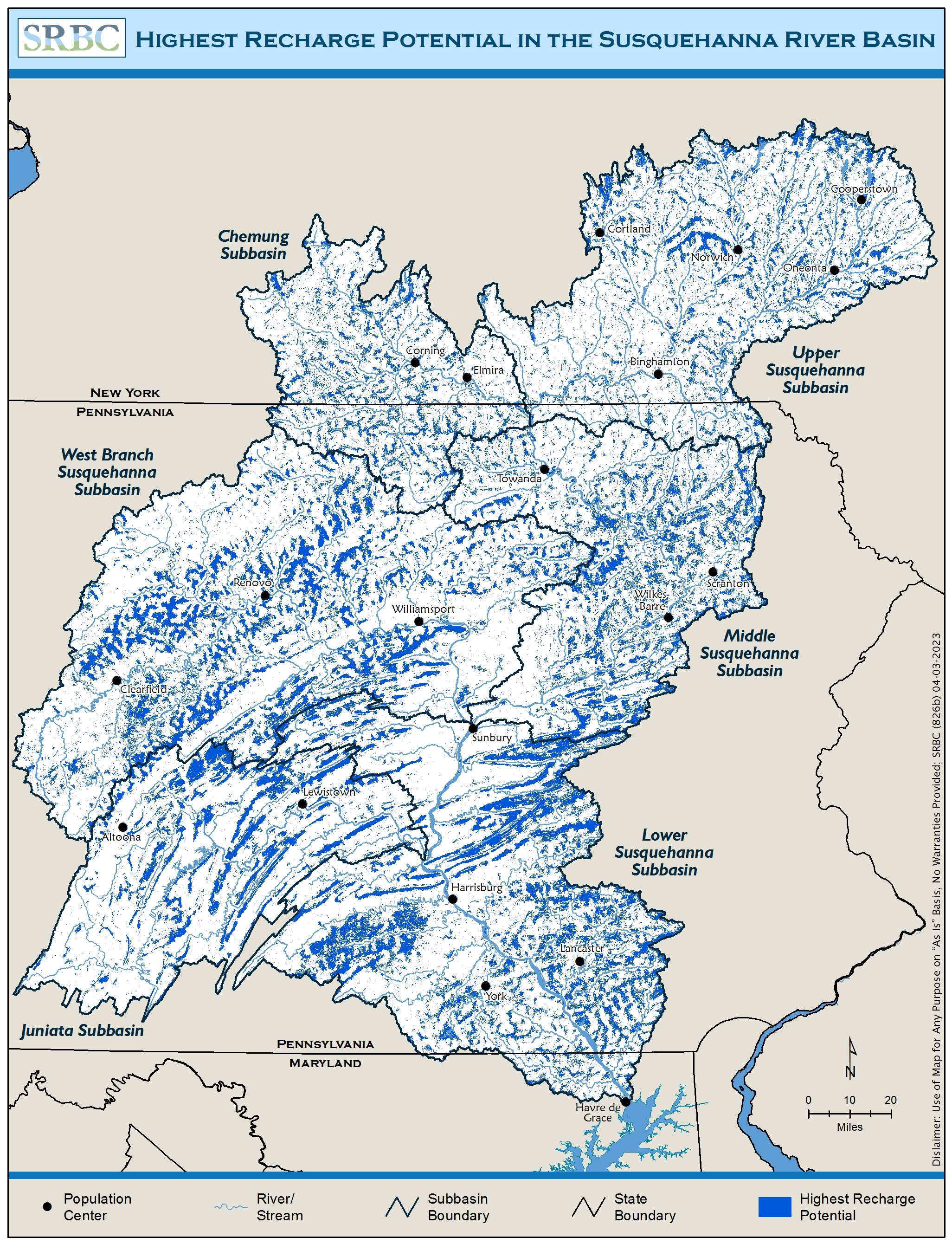
The GIS tool developed for this study can be applied at a basinwide scale, and local scale for subwatershed, county, or regional assessments, based on the needs of the user. The basinwide output can aid in developing and/or prioritizing preservation, restoration, or enhancement projects throughout the basin. The tool also enables the user to identify high recharge potential areas that may otherwise have limited recharge potential, increasing development, and/or water supply limitations. With these considerations, Commission staff identified Critical Aquifer Recharge Areas (CARAs) in select locations where water withdrawals from aquifers have approached or are exceeding the sustainable limit. Protecting and enhancing CARAs will assist with drought resiliency, improving or maintaining water quality, and preserving water supply for future use.
Groundwater Recharge
Groundwater recharge, the process of adding water to the saturated zone beneath the Earth's surface, is crucial in the Susquehanna River Basin. The Commission defines groundwater as
“water beneath the surface of the ground within a zone of saturation, whether or not flowing through known and definite channels or percolating through underground geologic formations, and regardless of whether the result of natural or artificial recharge”
Report
Map
View the layers in the Susquehanna Atlas:
Groundwater Recharge Potential
Highest Groundwater Recharge Potential
Access the GIS datasets at the Pennsylvania Spatial Data Access website:
Groundwater Recharge Potential
Highest Groundwater Recharge Potential Areas
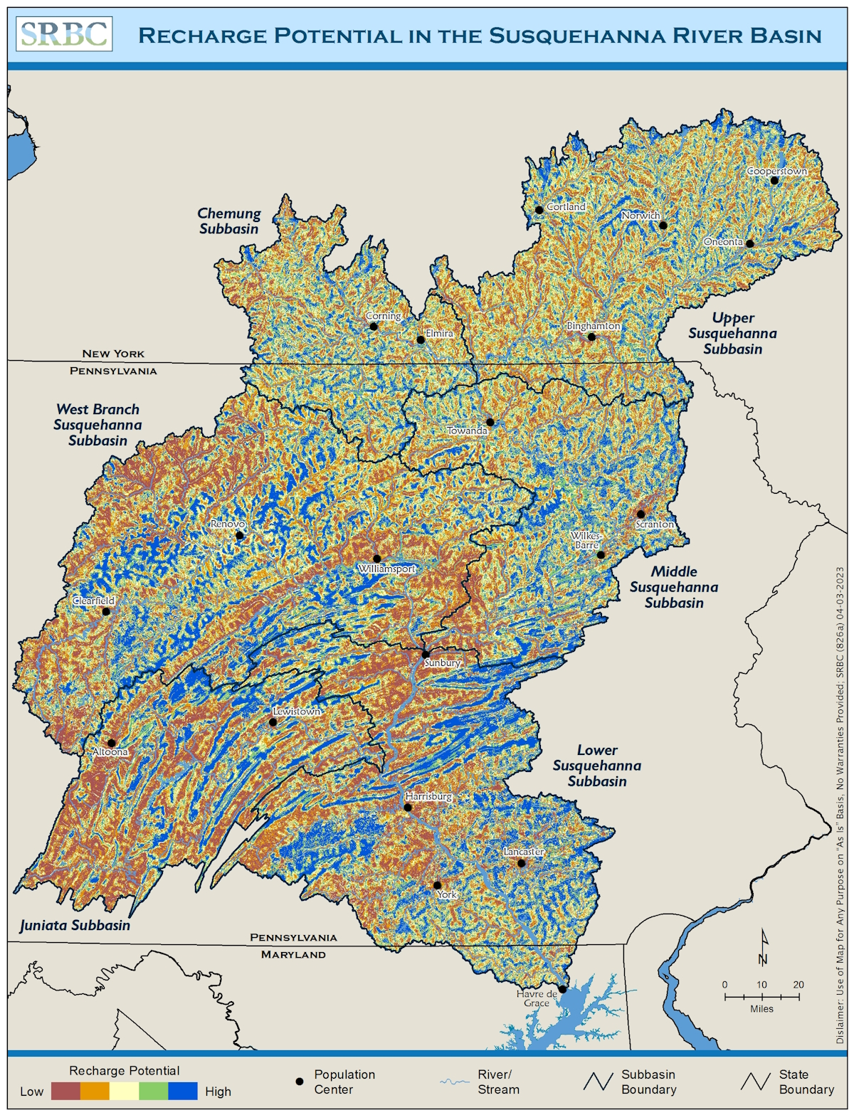 Recharge Potential in the Susquehanna River Basin
Critical Aquifer Recharge Areas (CARAs)
CARAs are areas of increased or optimal recharge located in aquifers that have limited recharge, water availability or demand limitations and development pressures which impact groundwater quality or quantity. These land surface areas are responsible for a larger fraction of recharge by virtue of high aquifer permeability, soil characteristics, vegetative cover and locations with respect to discharge rates and/or withdrawals topographic setting or combination of these (SRBC GWMP, 2005).
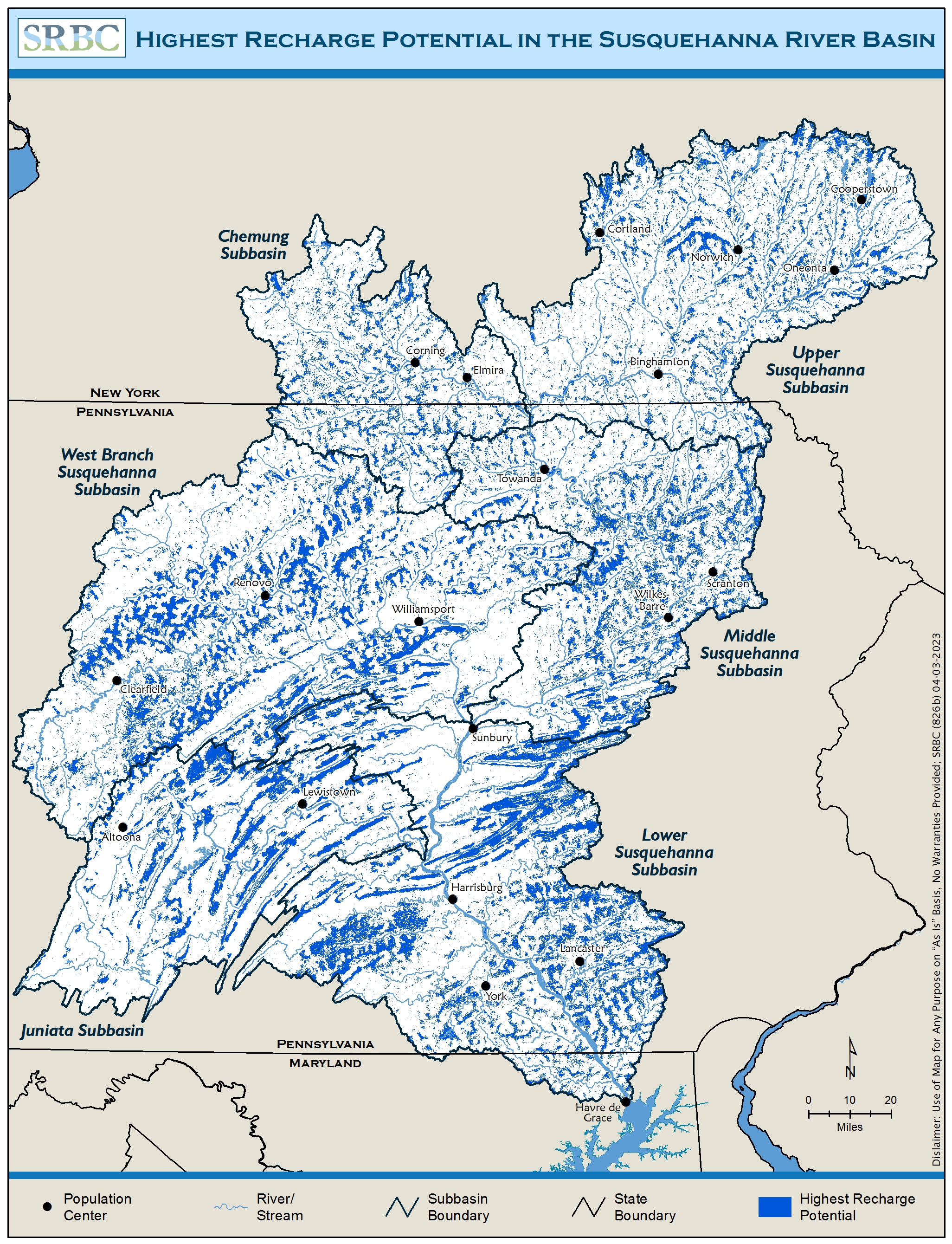 Highest Recharge Potential in the Susquehanna River Basin
Compare All Recharge Potential Areas with Highest Recharge Areas
