Geology

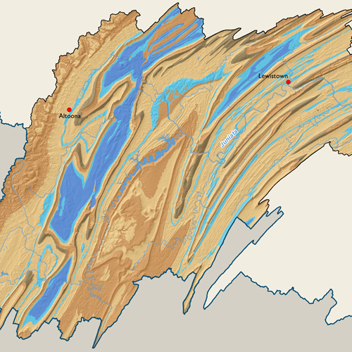
There are four distinct areas of geology, when symbolized by primary rock type, within the Susquehanna River Basin. The northern area of the Basin, primarily in New York, is composed mostly of shale with some small sections of limestone and sandstone in the far north. Geology across north-central Pennsylvania is almost completely sandstone or sandstone with interbedded shales. These areas in the northern half of the Basin contain large glacial deposits that are hydrologically important.
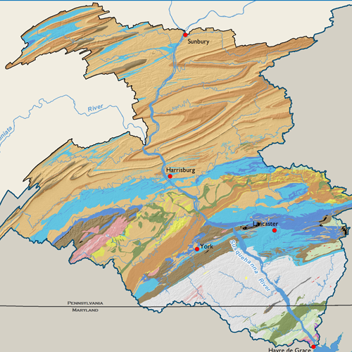
Significant folding is apparent where the Appalachian Mountains cross the Basin from the eastern-middle to the southwest. This region is also predominantly shale and sandstone, but carbonate rocks, such as limestone and dolomite, are present in many of the valleys. Carbonates dominate the Great Valley region south of Blue Mountain through all are parts of Cumberland, Lancaster, York, and Dauphin Counties. Rock types are much more diverse south of the Great Valley: the only outcrops of igneous and metamorphic rocks, including a large area of schist, exist here.
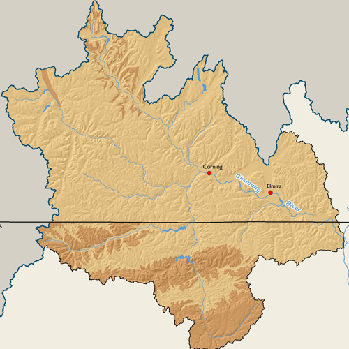
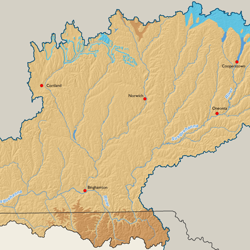
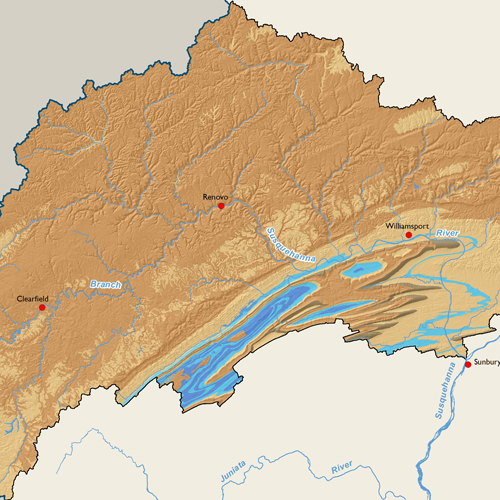
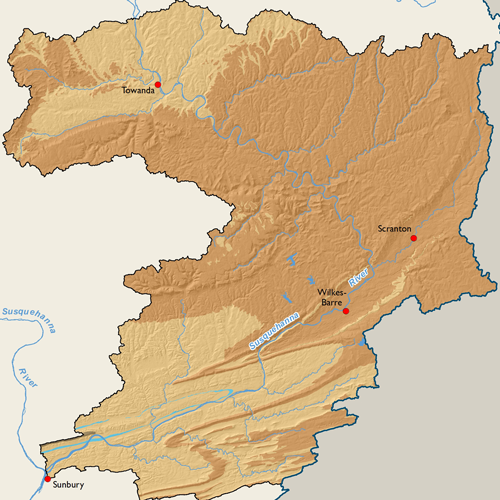
Subbasin Maps
Metadata
| GIS Dataset Title | Geology by Rock Type, Susquehanna River Basin |
|---|---|
| Dataset Description | Polygon dataset depicting geology by rock type, hydrostratigraphic terrain and lithology for the entire Susquehanna River Basin. It represents the merging of three state (NY, PA, MD) bedrock geology spatial datasets in order to provide basic rock types of the Susquehanna River Basin. The dominant formation lithology that appears in the attribute table were grouped into 19 general rock types, such as sandstone, shale, schist, limestone, dolomite, etc. |
| Date | 2006 |
| Scale | 1:250,000 |
| Agency | Compiled by the Susquehanna River Basin Commission based on data from the New York State Museum and New York State Geological Survey, United States Geologic Survey (USGS), and Pennsylvania Department of Conservation and Natural Resources (PA DCNR) Bureau of Topographic and Geologic Survey. |
| Download GIS Dataset | PASDA - Geology by Rock Type |
| Metadata | Geology by Rock Type, 2006 |