Natural Gas Shales

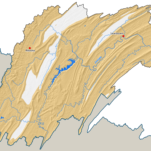
Approximately 85% of the Susquehanna River Basin is underlain by natural gas-bearing shale formations. The best known of these formations, the organic-rich black Marcellus Shale, holds one of the richest deposits of natural gas in the lower 48 states. Other gas-bearing formations underlying portions of the Basin include the Utica, Antes, Burket, Geneseo, Mandata, Middlesex, Needmore and Rhinestreet
These shale formations are present almost everywhere in the Basin north of the Blue Mountain, which runs diagonally across the southeast. Some exceptions include the carbonate valleys in Clinton, Centre, Mifflin, Blair, and Bedford Counties.
Please visit the Commission's webpage on Natural Gas Development for more information on the shale gas industry.
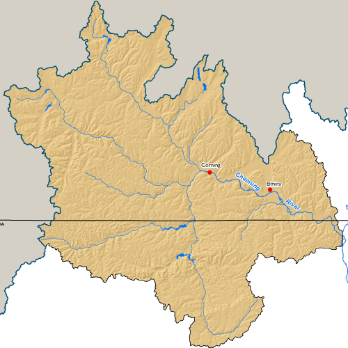
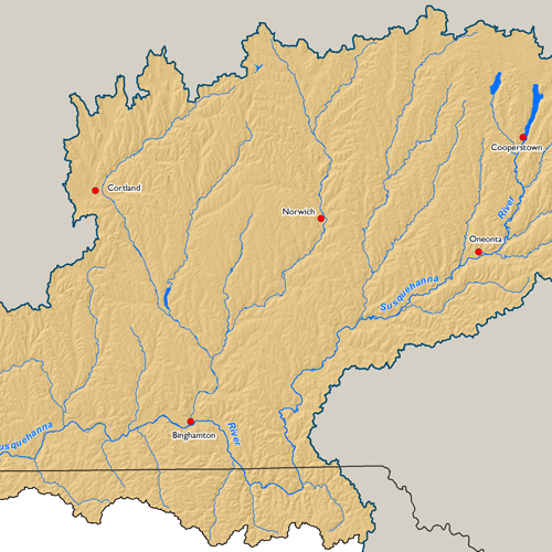
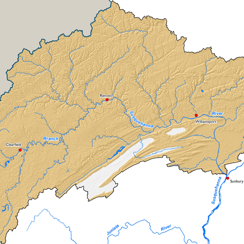
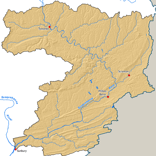
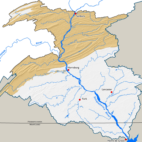
Subbasin Maps
Metadata
| GIS Dataset Title | Area Underlain by Natural Gas Shales, Susquehanna River Basin |
|---|---|
| Dataset Description | Polygon dataset representing the area underlain by shales with the potential for natural gas extraction in the Susquehanna River Basin. This dataset includes the estimated subsurface extent within the Susquehanna River Basin of the Marcellus, Utica-Antes, Burket, Geneseo, Mandata, Middlesex, Needmore, and Rhinestreet Shales combined. To depict potential natural gas shale area within the Susquehanna River Basin, only display formations with a 'Yes' attribute for the field "GAS_SHALE". |
| Date | 2011 |
| Scale | 1:250,000 |
| Agency | Compiled by the Susquehanna River Basin Commission based on data from the New York State Museum and New York State Geological Survey, United States Geologic Survey (USGS), and Pennsylvania Department of Conservation and Natural Resources (PA DCNR) Bureau of Topographic and Geologic Survey. |
| Download GIS Dataset | PASDA - Natural Gas Shales |
| Metadata | Natural Gas Shales, 2011 |