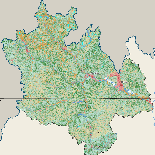
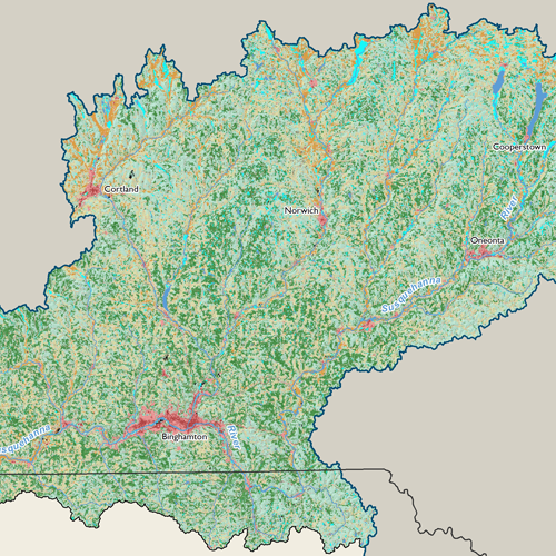
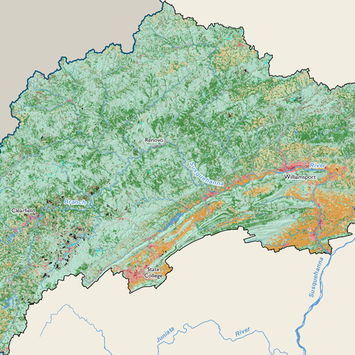
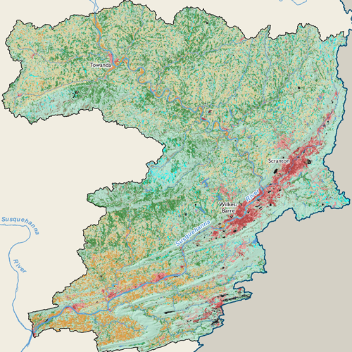
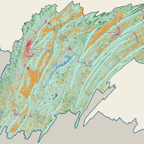
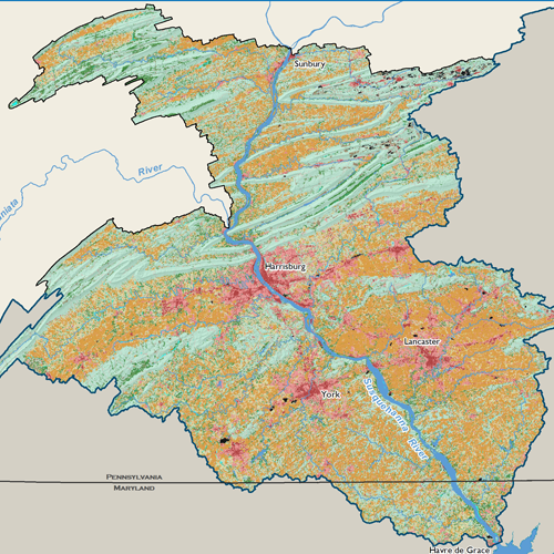
Land Use Land Cover

Land use data for the Susquehanna River Basin is based on the USGS 2021 National Land Cover Database (NLCD). The NLCD includes 15 distinct land use classes that were grouped into 5 general categories. The pie chart below shows that the Basin is predominantly comprised of naturally vegetated lands, consisting of deciduous forest (44%), mixed forest (15%), evergreen forest (2%), and grasslands (1%).
About 25 percent of the Basin is cultivated land and occurs primarily in the southeast. The largest areas of developed land use (10%) exist in the southeast around the cities of Harrisburg, York, and Lancaster. Water and Barren categories make up the remaining 3 percent of Basin land uses.
Subbasin Maps
Metadata
| GIS Dataset Title | National Land Cover Database (NLCD) |
|---|---|
| Dataset Description | The NLCD 2021 design aims to provide innovative, consistent, and robust methodologies for production of a multi-temporal land cover and land cover change database from 2001 to 2021 at 2–3-year intervals. Comprehensive research was conducted and resulted in developed strategies for NLCD 2021: a streamlined process for assembling and preprocessing Landsat imagery and geospatial ancillary datasets; a multi-source integrated training data development and decision-tree based land cover classifications; a temporally, spectrally, and spatially integrated land cover change analysis strategy; a hierarchical theme-based post-classification and integration protocol for generating land cover and change products; a continuous fields biophysical parameters modeling method; and an automated scripted operational system for the NLCD 2021 production. |
| Date | 2021 |
| Scale | 30 meter |
| Agency | USGS |
| Download GIS Dataset | USGS - National Land Cover Database |
| Metadata | NLCD, 2021 |